
Idaho Airstrips - Vines
 WARNING!
The information presented about the Idaho Airstrips is not intended
to replace flight instruction from a competent instructor for flying
to or landing at any of the airstrips presented.
DO NOT attempt
to land at Vines until you have received instruction on the proper
approach and short-field landings. Although much information may be
presented, it is not sufficient to cover all the hazards associated
with these backcountry airstrips.
WARNING!
The information presented about the Idaho Airstrips is not intended
to replace flight instruction from a competent instructor for flying
to or landing at any of the airstrips presented.
DO NOT attempt
to land at Vines until you have received instruction on the proper
approach and short-field landings. Although much information may be
presented, it is not sufficient to cover all the hazards associated
with these backcountry airstrips.
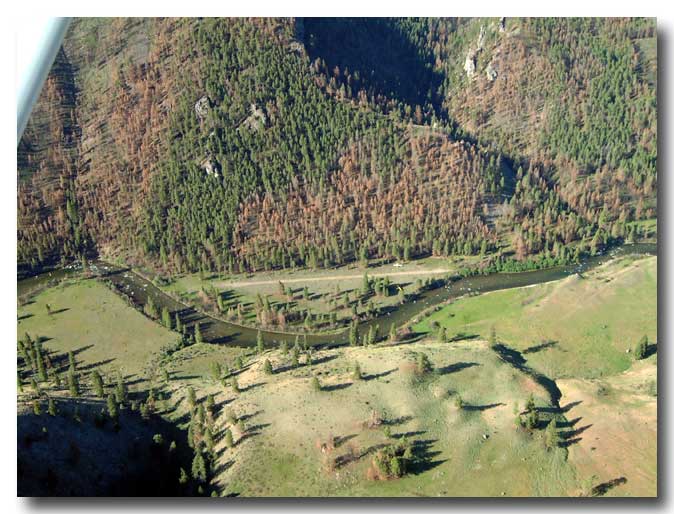
Name: Vines airstrip
Identifier: None
Elevation: 4,110 feet
Lat: N45-07.86 Long: W114-59.85
Surface: Gravel
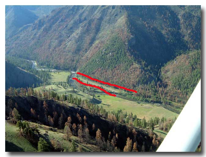
Runway: 9/27
Length & width: 1,100 feet by 30 feet
Remarks: Land runway 27 (upstream), takeoff runway 9
(downstream).
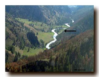
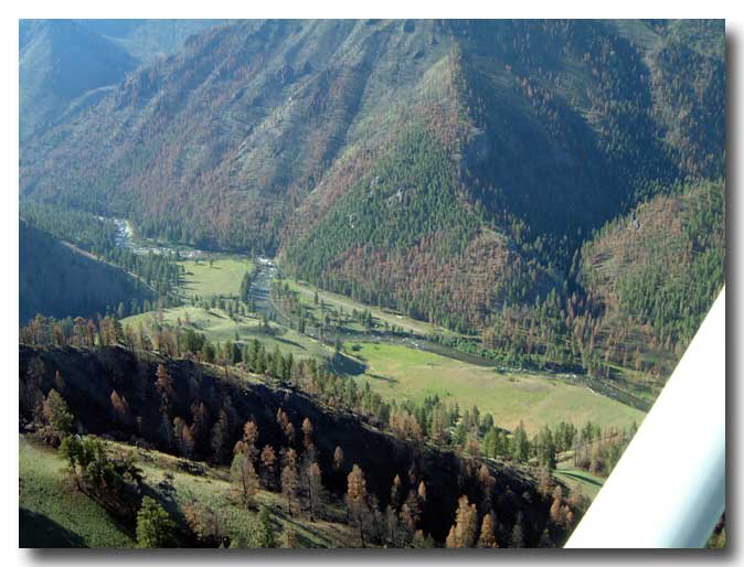
Vines Airstrip is located on the south side of Big Creek Canyon about 2 miles west of the Cabin Creek Airstrip, which is about 11-miles west of where Big Creek runs into the Middle Fork of the Salmon River.
North is on the right side of this photo. Runway 27 is used for landing. Most pilots follow Big Creek to avoid the trees on final approach. Runway 9 is used for takeoff.
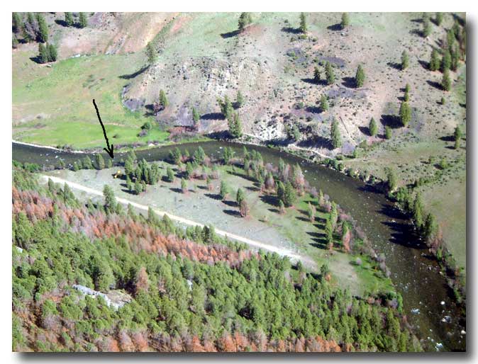
 View
to the northwest. The arrow points to an airplane that flipped over
after landing. This airstrip has trees obstructing the approach.
Airspeed control is critical because it is a short airstrip (1,100
feet). A 10-percent increase in approach speed (from 40-mph
indicated airspeed to 44-mph indicated airspeed) results in a
21-percent increase in landing distance.
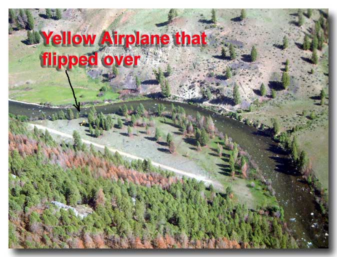
View
to the northwest. The arrow points to an airplane that flipped over
after landing. This airstrip has trees obstructing the approach.
Airspeed control is critical because it is a short airstrip (1,100
feet). A 10-percent increase in approach speed (from 40-mph
indicated airspeed to 44-mph indicated airspeed) results in a
21-percent increase in landing distance.
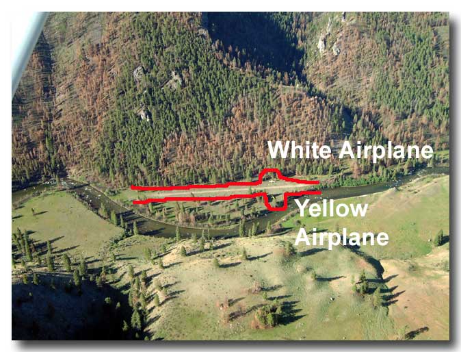
Note the white airplane on the south side of the approach end of runway 9. On the north side, opposite the white airplane is the airplane that flipped over.
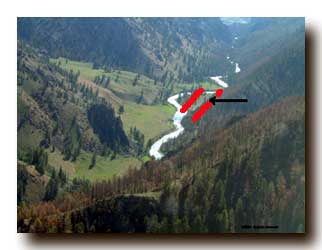
How do you determine the water flow? The white water forms a tail from an obstruction pointing in the direction of flow. The Big Creek water in this photo is moving from right to left (east).
|
|
|